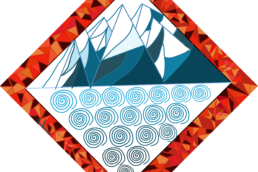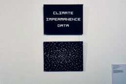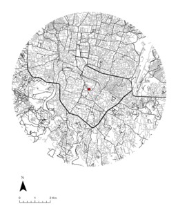
This map was made as part of the climate atlas initiative. The climate atlas is an analog-digital mashup of maps and counter-maps created as part of projects during the Field Lab. These maps are meant to illustrate a cross-section of the work done at the Field Lab, but also be playful and aesthetically pleasing, not shying away from using abstraction as a medium for counter-mapping.