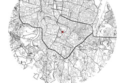
The map is a landcover map of Kathmandu valley of 2010 prepared by extracting data from ICIMOD’s spatial data portal. The map uses unique symbology and cartographic symbols for feature which makes the map stand out and appear visually pleasing. It is an abstract map which shows the classes through symbols where indexes are not provided for the viewer to easily interpret the physical features the symbol is representing.
Access the map in higher resolution here: Vintage map of Kathmandu Valley